
Fichier:Flag map of Aland.svg

Taille de cet aperçu PNG pour ce fichier SVG : 613 × 600 pixels. Autres résolutions : 245 × 240 pixels | 491 × 480 pixels | 785 × 768 pixels | 1 047 × 1 024 pixels | 2 094 × 2 048 pixels | 818 × 800 pixels.
Fichier d’origine (Fichier SVG, nominalement de 818 × 800 pixels, taille : 48 kio)
Ce fichier et sa description proviennent de Wikimedia Commons.
Description
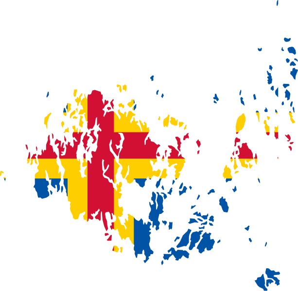
| Description | Flag map of Aland |
| Date | (UTC) |
| Source | |
| Auteur |
|
| SVG information |
Conditions d’utilisation
Ce fichier est disponible selon les termes de la licence Creative Commons Attribution – Partage dans les Mêmes Conditions 3.0 (non transposée).
- Vous êtes libre :
- de partager – de copier, distribuer et transmettre cette œuvre
- d’adapter – de modifier cette œuvre
- Sous les conditions suivantes :
- paternité – Vous devez donner les informations appropriées concernant l'auteur, fournir un lien vers la licence et indiquer si des modifications ont été faites. Vous pouvez faire cela par tout moyen raisonnable, mais en aucune façon suggérant que l’auteur vous soutient ou approuve l’utilisation que vous en faites.
- partage à l’identique – Si vous modifiez, transformez, ou vous basez sur cette œuvre, vous devez distribuer votre contribution sous la même licence ou une licence compatible avec celle de l’original.
Téléversé avec derivativeFX
Historique du fichier
Cliquer sur une date et heure pour voir le fichier tel qu'il était à ce moment-là.
| Date et heure | Vignette | Dimensions | Utilisateur | Commentaire | |
|---|---|---|---|---|---|
| actuel | 23 mars 2018 à 13:42 | | 818 × 800 (48 kio) | Stasyan117 | better map |
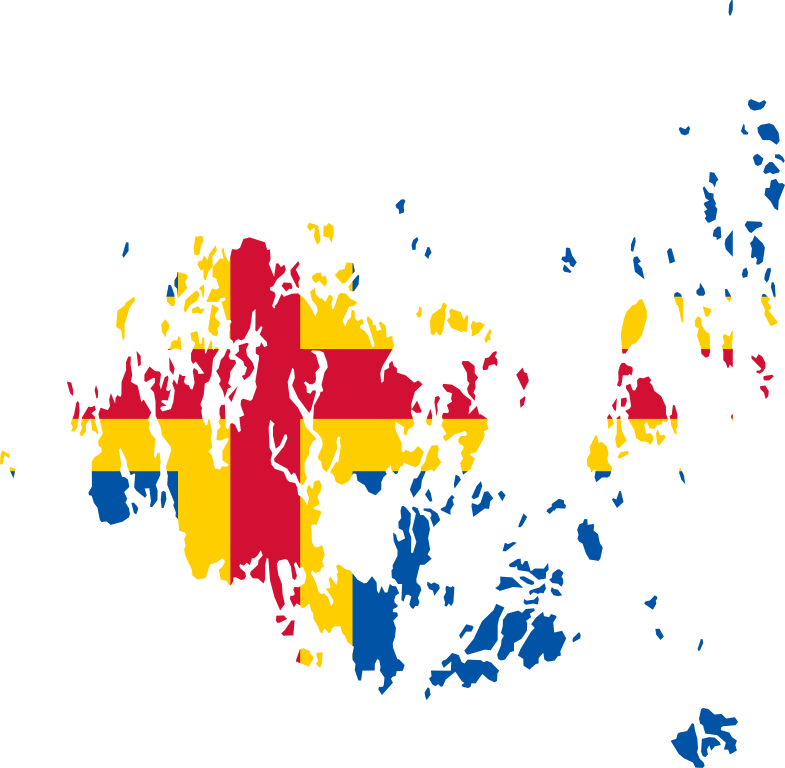
| 16 février 2018 à 23:33 |  | 955 × 800 (59 kio) | Stasyan117 | correct map | |
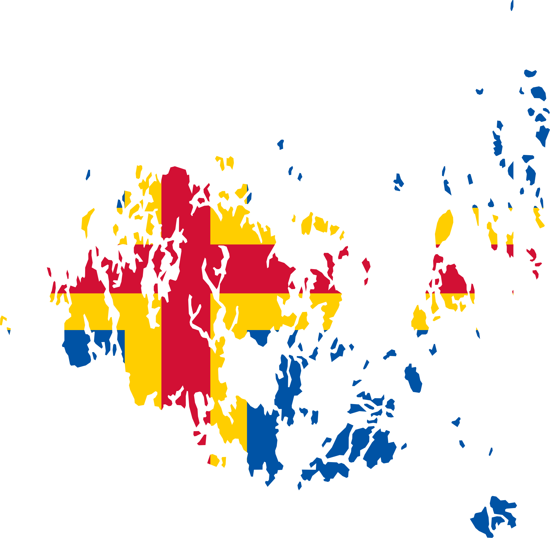
| 20 juin 2011 à 03:54 |  | 542 × 436 (79 kio) | Fry1989 | {{Information |Description=Flag map of Aland |Source=*File:Flag_of_Austria.svg *File:Aland_EU.svg |Date=2011-06-20 01:42 (UTC) |Author=*File:Flag of Åland.svg: *File:Aland_EU.svg: *[[:File:Topographic_map_of_Åland.svg|Topographic |
Utilisation du fichier
La page suivante utilise ce fichier :
Usage global du fichier
Les autres wikis suivants utilisent ce fichier :
- Utilisation sur en.wikipedia.org
- Utilisation sur sv.wikipedia.org
- Utilisation sur www.wikidata.org